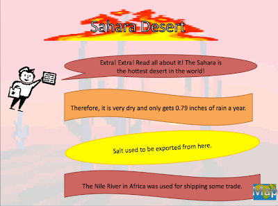
STUDENT EXAMPLE #1:
Each of the pictures on the map below is linked to a slide with information about that topic:
STUDENT EXAMPLE #2:
Each of the pictures on the map below is linked to a slide with information about that topic:
STUDENT EXAMPLE #4:
Each of the pictures on the map below is linked to a slide with information about that topic:
STUDENT EXAMPLE #5:
Each of the pictures on the map below is linked to a slide with information about that topic:
STUDENT EXAMPLE #3:
Each of the pictures on the map below is linked to a slide with information about that topic:STUDENT EXAMPLE #4:
Each of the pictures on the map below is linked to a slide with information about that topic:
STUDENT EXAMPLE #5:
Each of the pictures on the map below is linked to a slide with information about that topic:


